Sorting
Source
Main catalog
(2)
Form of Work
Mapy
(2)
Status
only on-site
(2)
Branch
Czytelnia Regionalna
(2)
Year
1990 - 1999
(2)
Time Period of Creation
1901-2000
(2)
1989-2000
(2)
Country
Poland
(2)
Language
Polish
(2)
Subject
Topografia
(2)
Subject: time
1901-2000
(2)
1945-1989
(2)
Subject: place
Inowrocław (woj. kujawsko-pomorskie ; okolice)
(2)
Genre/Form
Mapa topograficzna
(2)
Domain
Geografia i nauki o Ziemi
(2)
2 results Filter
Map
In basket
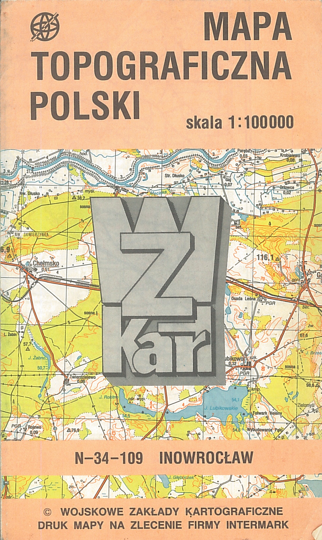
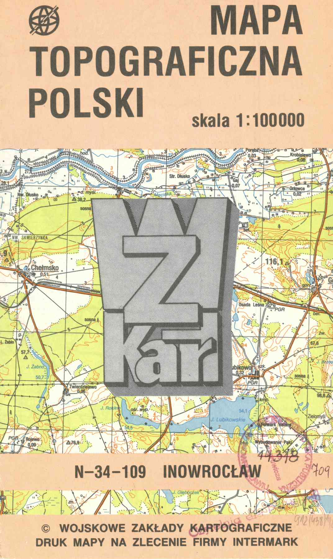
N-34-109 : Inowrocław / Zarząd Topograficzny Sztabu Generalnego WP. - Warszawa : Wojskowe Zakłady Kartograficzne, [1990]. - 1 mapa : kolor. ; mapa 39x36 cm, arkusz 48x42 cm.
(Mapa topograficzna Polski 1:100 000)
Stan aktualności 1986/1987.
Rzeźba terenu: poziomice, punkty wysokości.
This item is available in one branch. Expand information to see details.
Copies are only available in the library: sygn. MAPA (1 egz.)
Map
In basket
Druk mapy na zlecenie firmy Intermark.
Na dolnym marginesie szkic granic województw.
Rzeźba terenu: poziomice, punkty wysokości.
Stan aktual. 1986-87.
Tylny panel: skorowidz map 1:100 000.
Tyt. znad ramki mapy.
Verso: objaśnienia znaków, skrowidz map 1:200 000.
This item is available in one branch. Expand information to see details.
Copies are only available in the library: sygn. MAPA (1 egz.)
The item has been added to the basket. If you don't know what the basket is for, click here for details.
Do not show it again