Sorting
Source
Main catalog
(1)
Form of Work
Mapy
(1)
Publikacje dydaktyczne
(1)
Status
only on-site
(1)
Branch
Czytelnia Regionalna
(1)
Author
Liebers Adolf (1862-1934)
(1)
Westermann Georg (1810-1879)
(1)
Year
1930 - 1939
(1)
Time Period of Creation
1901-2000
(1)
1918-1939
(1)
Country
Germany
(1)
Language
German
(1)
Subject
Geografia
(1)
Subject: time
1901-2000
(1)
1918-1939
(1)
Subject: place
Świat
(1)
Genre/Form
Atlas geograficzny
(1)
Materiały pomocnicze
(1)
Domain
Edukacja i pedagogika
(1)
Geografia i nauki o Ziemi
(1)
1 result Filter
Map
In basket
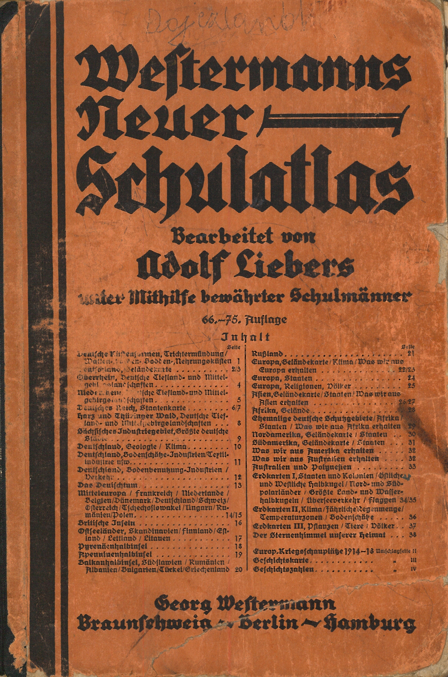
Westermanns neuer Schulatlas / bearbeitet von Adolf Liebers unter Mitwirkung bedeutender Schulmänner. - 66-75 Auflage - Braunschweig ; Berlin ; Hamburg : Georg Westermann, [1937?] (Braunschweig : Offsetdruck von Georg Westermann). - 1 atlas (38 stron z mapami) : mapy wielobarwne ; 28 cm.
Opis według okładki.
Na wewnętrznej stronie tylnej okładki wklejone mapki w języku polskim.
Rzeźba terenu: cieniowanie.
This item is available in one branch. Expand information to see details.
Copies are only available in the library: sygn. Druk do 1945 (1 egz.)
The item has been added to the basket. If you don't know what the basket is for, click here for details.
Do not show it again